Workability of Concrete: Definition, Importance and Measurement
Learn what workability of concrete means, why it matters, its types (consistency, mobility, compactibility, stability), how it is measured, and IS 456 requirements. RTMNU exam notes.

Learn and get Best civil engineering subject wise Notes, Lectures, Excel templates and Software knowledge at one place

Learn what workability of concrete means, why it matters, its types (consistency, mobility, compactibility, stability), how it is measured, and IS 456 requirements. RTMNU exam notes.
Introduction To carry out any construction work we required the quantity calculation and that gives a detailed explanation of how much quantity to procure at the construction site. The rate analysis is one of the best calculations which help to carry out the cost and quantity calculation for construction work. This post will help to…

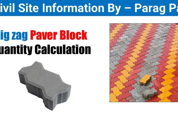
Zig Zag paver block To calculate the quantity of zigzag paver blocks needed for a 1000 sq.ft area, you’ll need to follow these steps: Determine the Size of the Paver Block: Find out the dimensions of the zigzag paver block. Let’s assume the size is 8 inches by 4 inches. Convert Square Feet to Square…
Learn sieve analysis procedure, fineness modulus calculation with solved examples, grading limits as per IS 383, and grading curves. Essential for RTMNU Concrete Technology exam.
Learn about aggregates in concrete—classification by size, shape, origin; properties like specific gravity, absorption, hardness; and IS code tests. Student notes for RTMNU.
Complete guide to types of cement: OPC grades (33/43/53), PPC, SRC, Low Heat, Rapid Hardening, White, High Alumina Cement with IS codes, properties, and RTMNU exam tips.
Learn cement composition, Bogue’s compounds (C3S, C2S, C3A, C4AF), and the hydration process with reactions. Includes CSH gel formation, heat of hydration, and RTMNU exam tips.
Understand the 5 major types of concrete—PCC, RCC, PSC, HPC, and SCC—with properties, differences, and real-world construction applications. Perfect for RTMNU exam prep.
Sand has several use. One typical component of mortar is sand. Sand quality is crucial for creating high-quality mortar. Sand’s role in mortar The purposes of sand as a component of mortar are as follows. Sand is typically not added to mortar to make it stronger. Instead, it serves mostly as an inert substance to…
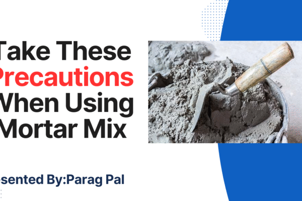
It is important to take certain safety measures in order to make the best mortar possible using the ingredients at hand. To get the most out of the mortar mix, the following elements need to be taken into account. Take caution when using a mortar Take These Precautions When Using Mortar Mix Small amounts of…